
Remote Sensing & GIS
Analyze imagery and geospatial data to investigate changes on Earth.
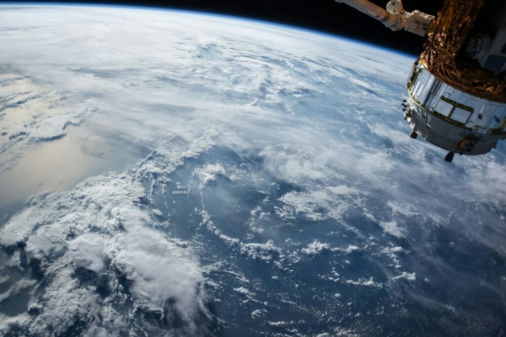
Work behind the title.
Data preparation
- Acquire, calibrate and organize imagery.
- Handle coordinate systems, metadata and quality checks.
- Combine satellite and supporting datasets.
Analysis
- Apply multispectral, SAR or other remote-sensing methods.
- Detect change and classify features.
- Quantify uncertainty and validate results.
Products
- Build maps, dashboards and reproducible workflows.
- Explain what the data can and cannot support.
- Deliver decision-ready geospatial products.
Concrete work products.
Remote-sensing work turns measurements into defensible spatial evidence for science, operations and decisions.
A realistic workflow, not a universal schedule.
Check new imagery, metadata and coverage.
Correct, align and quality-check datasets.
Run classification, change-detection or retrieval methods.
Validate findings and publish a map, dataset or brief.
Some roles emphasize algorithms; others emphasize GIS production, applications or field validation.
CAREER DIRECTIONSWhere this career can lead
GIS Analyst
Builds spatial databases, maps and decision products.
Remote Sensing Scientist
Develops and validates measurement methods.
SAR Analyst
Works with radar imagery and derived products.
Earth Observation Data Scientist
Automates large-scale image and time-series analysis.
CAPABILITIESSkills you need
Geospatial
Remote sensing
Software
Professional
Tools you may encounter.
Actual toolchains vary by mission and employer; this is an exploration list, not a universal requirement.
Preparation and credible entry routes.
Geography, geoscience, engineering and computing offer relevant preparation; requirements differ by position.
Computing and research environments, sometimes supported by field measurements.
Use an open satellite dataset to map a local change and describe the limitations of your analysis.
Routes into the work
Geospatial route
Geography or GIS study → portfolio maps → remote-sensing methods → analyst role.
Science route
Geoscience, physics or environmental science → satellite data and validation → research or applications role.
Computing route
Software or data science → geospatial foundations → Earth-observation project → EO data role.
Example roles along the way.
- GIS Intern
- Earth Data Intern
- GIS Analyst
- Remote Sensing Analyst
- Senior Analyst
- EO Data Scientist
- Applications Scientist
- Technical Lead
- Principal Scientist
- Program Manager
Titles vary by organization. This is an example progression, not a guaranteed promotion ladder.
Cartographers and Photogrammetrists
National U.S. comparison data—not a salary claim for this space specialty.
This benchmark represents a broader occupation. Actual pay varies by employer, location, experience, education, clearance requirements and mission.
Build this: Local Change-Detection Study
Use an open satellite dataset to map a real local change and explain limitations.
- Choose a focused question.
- Select two or more comparable observations.
- Document preprocessing.
- Calculate or classify change.
- Validate against another source.
- Publish a map and one-page methods note.
A curated resource shelf.
Follow the work, then the organization.
Current matching openings.
Matches use the profile’s role terms against OffWorldly’s selected commercial employer feeds. Verify requirements and closing status on the employer site.
Remote Sensing Data Scientist
Denver, CO
View opening ↗Senior Remote Sensing Data Scientist, Cal/Val
Denver, CO
View opening ↗Proposal and Capture Strategist
Denver, CO
View opening ↗Logistics Technician
Munich, Germany
View opening ↗If this interests you, keep exploring.
TRANSPARENCYSource & methodology
Profile informed by O*NET Remote Sensing Scientists and Technologists (19-2099.01) and OffWorldly Earth-observation editorial guidance. Reviewed September 14, 2026.
Career families, specialty descriptions, example titles and projects are OffWorldly editorial classifications. They are designed for exploration and should be checked against each employer’s actual requirements.
Image: NASA Earth observation imagery · NASA / Unsplash